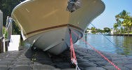
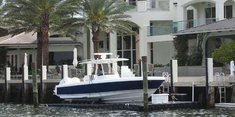
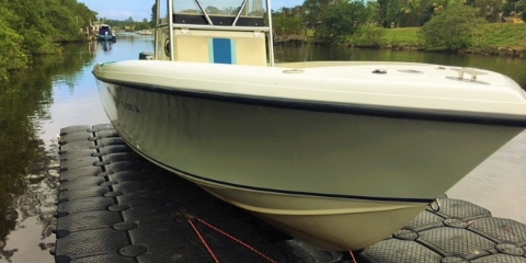
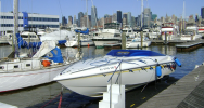
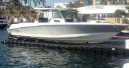
 Boat Docks
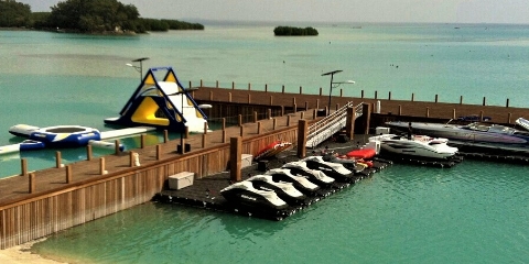
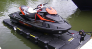
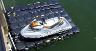 PWC Docks
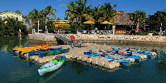
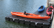 Kayak Docks
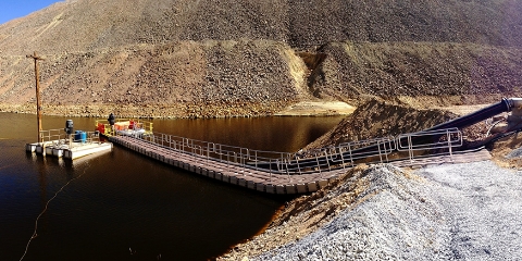
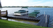 Floating Walkways
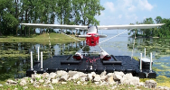 Seaplane Docks
 Residential Docks
 Commercial Docks
 Saltwater Docks
 Lake & River Docks
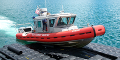 Government Docks
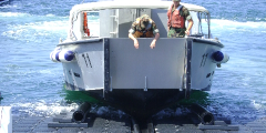 Military Docks
 Parks & Recreation Boat Docks
 GSA Information
 Dealer Application
 Dealer List
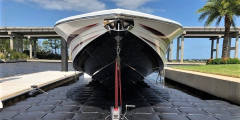
 Jet Dock Advantages
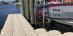
 Boat Lift Photos
 Boat Lift Videos
 Knowledge Center
 Marine Forecasts
Local Marine Forecast and Weather Report
Find the marine forecast and weather report for a shore near you! Our extensive list of weather reports allows you to find the body of water you're looking to go on for a day, and check to see if the weather is permitting, or alerts you of any precautions to follow. Also, if you're out for a trip, make sure to look for the list of lighthouses for each body of water. If you are looking to install a boat lift, or jet ski dock, make sure that you research the countless environments Jet Dock can stand up against.
Great Lakes Marine Forecasts
Gulf of Mexico Forecasts
- Southern Texas
- Houston / Galveston, Texas
- Lake Charles, Louisiana
- New Orleans, Louisiana
- Mobile, Alabama
- Tampa Bay, Florida
- Eastern Panhandle, Florida
Atlantic Forecasts
- East Central Florida
- Southern Florida
- Southern Maine
- Northern Maine
- Massachusetts / Rhode Island
- Delaware / New Jersey
- Chesapeake Bay
Pacific Forecasts
Lighthouse Listings for Tourist, Navigation and Weather References
By answering a few quick questions we will be able to tell you which dock or boat lift is the perfect fit for you.
Start Now! ▶Jet Dock Systems manufactures specialized floating boat lifts and drive-on docking systems for a wide variety of watercraft in just about any marine environment. Our headquarters and manufacturing operations are located in Cleveland, Ohio. We have an additional facility and staff in Fort Lauderdale, Florida as well as boat lift dealers all over the world.

